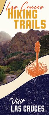
Hiking Trails
NORTH OF LAS CRUCES
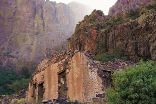
 Dona Ana Mountains
Location & Information: Located about 5 miles north of Las Cruces, it offers a number of hiking trails, 15 miles of mountain biking trails and 7 miles of horseback trails (which are not signed as well as the other trails). The Southern trails are recommended for beginners as they are reasonably lengthy and not as technical as opposed to the Northern trails which are shorter but more technical.
Skill Level: Beginning – Advanced – depends on the trails you choose.
Types of Recreation Available: Hiking, mountain biking, horseback riding.
Directions: Take I-25 north to the Doña Ana exit, go east and turn left on Del Rey, turn at the next right (Calle Las Lomas). Turn left on La Reina, then turn right onto Desert Wind. Go east for about 1.4 miles and go through the cattle guard. On a primitive dirt road, go for another 1/2 mile. The trailhead is just past the power line.
Fees: None
Picacho Peak
Location & Information: Located just 7 miles west of Downtown Las Cruces, Picacho peak has several trails for mountain biking, hiking and equestrian use.
Skill Level: Beginning – Experienced
Types of Recreation Available: Hiking, mountain biking, horseback riding.
Directions: After approximately 1 mile on Picacho Hills Drive, veer to the left onto Barcelona Ridge Road. Travel approximately 1 mile to Anthem Road and turn right. Follow Anthem Road approximately 1 mile to Loop Road and turn right. Loop Road turns into dirt. Approximately 0.9 mile turn right and follow to the Picacho Mountain Recreation Area.
Fees: None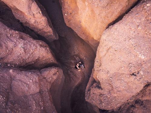
Slot Canyon
Location & Information: Slot Canyon is roughly 2.5 mile out and back located about 20 miles north of Las Cruces. Note: a state recreational access permit is required to access this hike.
Skill Level: Intermediate – Moderate
Types of Recreation Available: Hiking, Dog-Friendly Hiking
Directions: Follow NM-185 N/N Valley Dr North for approximately 19.5 miles. Access to the trail is on the west side of the road.
Fees: $5
SOUTH OF LAS CRUCES
Kilbourne Hole
Location & Information: Located about 47 miles south of Las Cruces in a desert basin between the Potrillo Mountains and the Rio Grande in southern Dona Ana County. A remnant of an ancient volcanic explosion, Kilbourne Hole was designated a National Natural Landmark in 1975.
Skill Level: Beginning – Experienced
Types of Recreation Available: Hiking, geologic interpretation.
Directions: From Interstate 25 take the Vado Exit (10 miles south of Las Cruces) and NM 227 west 3 miles to NM 28. Take NM28 south (left) 2 miles to Dona Ana County Road (CR) B008. Take CR B008 west (right) 11 miles to Dona Ana CR B004 and turn south (left). Drive 6½ miles to railroad tracks. Turn left and cross railroad. Turn west (right) on Dona Ana CR A017 and drive for 7 miles to Dona Ana CR A011. Turn west (right) and proceed 8 miles to Kilbourne Hole. Kilbourne Hole is on the right, past the big tan dirt bank.


EAST OF LAS CRUCES
Tortugas “A” Mountain
Location & Information: Located 3 miles east of New Mexico State University, it offers two trails that circle around the mountain for hiking or mountain biking, of which, one of the trails leads to the top. There are currently two parking areas.
Skill Level: Hiking: Beginner – Mountain Biking: Advanced
Types of Recreation Available: Hiking, mountain biking, horseback riding.
Directions: Take I-25 north or south to the University exit (Exit 1) in Las Cruces. Turn east on University Avenue and follow it until A Mountain is directly to your right. Once you reach the north side of the mountain, there are two areas where cars can be parked, the most popular being the second one as you go east.
Fees: None
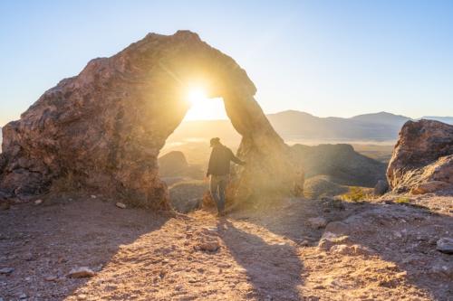
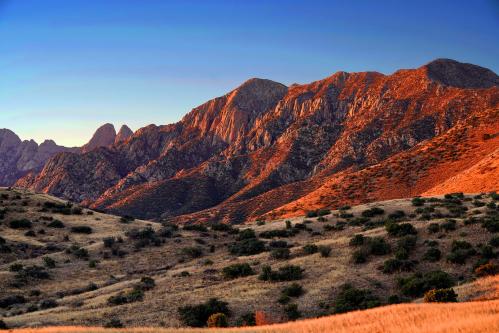 Aguirre Spring
Location & Information: The Aguirre Spring Campground is located on the east side of Organ Mountains, 21 miles east of Las Cruces in Dona Ana County.
Skill Level: Beginning – Experienced
Types of Recreation Available: Hiking, camping, horseback riding, picnicking, watchable wildlife. Leashed pets are allowed on trails.
Directions: Take U.S. 70 for 14 miles east of the I-25/U.S. 70 interchange in Las Cruces, then turn south on the Aguirre Spring Road (1.1 miles after San Augustine Pass) for six miles. At mile 4 the road becomes a one-way loop and climbs steeply.
Fees: $5 per vehicle and $15 per bus. Camping fees are $7 per campsite. Group sites are $50. Group site reservations are required.
Baylor Canyon
Location & Information: Located on the east side of Las Cruces, hikers can choose to go to the top for a 2.5 mile out and back or complete the 6-mile trail across the pass and end in Aguirre Springs.
Skill Level: Moderate
Types of Recreation Available: Hiking, Dog-Friendly Hiking (must be leashed)
Directions: From I-25 Exit 1 (University Avenue) in Las Cruces, head northeast on University (which eventually turns into Dripping Springs Road) for 7.7 miles. Turn left onto Baylor Canyon Rd and head north. The Trailhead is 4.8 miles down the road on the right (east) side.
Fees: None; camping or day-use fees may apply for Aguirre Springs
 Dripping Springs
Location & Information: The Dripping Springs Natural Area is located 10 miles east of Las Cruces, on the west side of the Organ Mountains. The Dripping Springs Natural Area has over four miles of easy hiking trails, including the Dripping Springs Trail, which shows off desert scrub and low elevation pinon-juniper and oak woodlands. The area also boasts excellent wildlife viewing opportunities
Skill Level: Beginning – Experienced
Types of Recreation Available: Wildlife viewing, hiking, picnicking.
Directions: From Exit 1 on Interstate 25, take University Avenue/Dripping Springs Road east to the end.
Fees: $5 per vehicle and $15 per bus. Group sites are $50. Group site reservations are required.
Sierra Vista Trail
Location & Information: Extensive trail that runs right along the edge of the Organ mountains and consequently, has beautiful views of the mountains and Rio Grande Valley and eventually connects with the Franklin Mountain State Park.
Skill Level: Experienced – Advanced – Has loose sand in some spots.
Types of Recreation Available: Hiking, mountain biking, horseback riding.
Directions: The trail is east and southeast, of Las Cruces. There are several trail heads. One is along the Soledad Canyon Road. From Exit 1 on Interstate 25, take University Avenue/Dripping Springs Road east for about 4.5 miles, then turn south on the Soledad Canyon Road. That road will turn east in a mile; follow it until you come to a parking area on your right. You can also access the Mossman Arroyo Road trailhead by exiting Interstate 10 at the Mesquite exit. Other trailheads can be reached by taking the Vado Exit off Interstate 10, and NM 404 at Anthony Gap.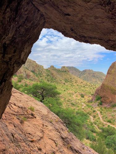
Fees: None
Bar Canyon/Soledad Canyon
Location & Information: 10 miles east of Las Cruces, there are several trails for mountain biking, hiking, and equestrian use, with beautiful views of the Organ Mountains and Southern Mesilla Valley.
Skill Level: Beginning – Experienced
Types of Recreation Available: Hiking, horseback riding, wildlife viewing.
Directions: Located on the west side of the Organ Mountains, 10 miles east of Las Cruces. From Exit 1 on Interstate 25, take University Avenue/Dripping Springs Road east for about 4.5 miles, then turn south on the Soledad Canyon Road. That road will turn east in a mile; follow it all the way to the end.
Fees: None
WEST OF LAS CRUCES
Mesilla Valley Bosque State Park
Location & Information: Located along the Rio Grande, just 2 miles west of Mesilla, the Mesilla Valley Bosque State Park offers about 2.5 miles of beginner to intermediate trails.
Skill Level: Beginner – Intermediate
Types of Recreation Available: Hiking, Bird watching, Dog-Friendly hiking (must be leashed)
Directions: Travel west on Avenida de Mesilla, turn west on Calle Del Norte and go for approximately 1.5 miles. After crossing over the Rio Grande, take an immediate left and continue on the gravel road for approximately .5 miles.
Fees: $5; No charge if you bicycle in
 Prehistoric Trackways National Monument
Location & Information: Located about 9 miles northwest of Las Cruces, the trail head offers access to the Ridgeline, Discovery, and SST trails.
Skill Level: Intermediate – Moderate
Types of Recreation Available: Hiking, Mountain Biking, Dog-Friendly hiking (must be leashed)
Directions: Coming from the South (Las Cruces): Travel on Picacho Ave./Hwy. 70, at the stop light with Shalem Colony Trail. Go north on Shalem Colony Trail for approximately 5.5 miles. Prior to reaching the Rio Grande, you will reach a county road, Rocky Acres Trail. Turn west on Rocky Acres Trail. Go west approximately 1/4 mile to a dirt road entrance on the left-hand side. Cross over a cattleguard and continue to the west. This road, past about a mile, is for high-clearance, 4wd vehicles only.
Fees: None